Navigation, georeferenced spatial data acquisition and analysis in precision agriculture
ORGANIZED BY
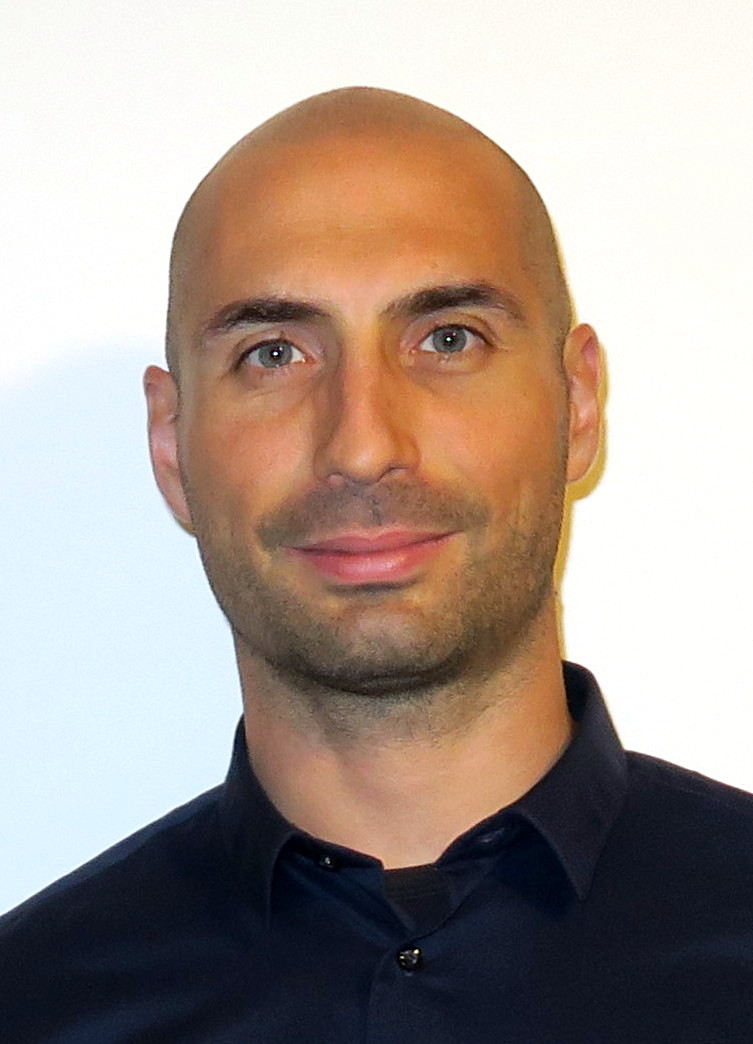
Andrea Masiero
University of Florence

Fabio Radicioni
University of Perugia
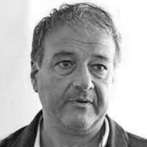
Aurelio Stoppini
University of Perugia
ABSTRACT
The all set of methodologies currently named as precision agriculture (PA) come from the development and availability of sensors and tools for crop monitoring and for designing actions and strategies to optimize agriculture returns and the use of fertilizers and pesticides. A key role in the development of such methodologies is played by the GNSS technology: GNSS enables positioning and navigation of terrestrial and aerial vehicles, and hence also of their autonomous use, if needed, in almost any outdoor place on the planet. Multi-constellation GNSS technology, which has been recently introduced also in many PA-related devices, ensures better coverage and precision: when its use is combined with a proper set of remote sensors, such as thermal/multi/hyper-spectral cameras, and of actuators it can ensure an improvement in the agriculture results in terms of productivity, environmental sustainability and economic competitiveness.
TOPICS
This special issue focuses on contributions dealing with several topics related to the role of GNSS and other navigation technologies, and to the PA-data analysis and acquisition by means of both proximity and remote sensors. An incomplete list of topics of interest for this special issue is reported below:
- Georeferencing of agronomic information from proximity sensors or installed on terrestrial/aerial unmanned vehicles;
- Geomatics and machine learning methods for the analysis of PA-related georeferenced spatial data;
- Positioning and navigation tools for the control of farm operations including driving and steering of tractors;
- Geomatics techniques for multi-sensor-data integration for precision agriculture;
- Remote sensing and photogrammetric methodologies for supporting crop monitoring, optimized fertilizer distribution, evaluation of yields, and event-based irrigation control.
ABOUT THE ORGANIZERS
Andrea Masiero, is Associate Professor of Geomatics at the Department of Civil and Environmental Engineering of the University of Florence. He received his MSc Degree in Computer Engineering and his PhD degree in Automatic Control and Operational Research from the University of Padua. His research interests range from Geomatics, Mobile Mapping, Positioning and Navigation, Machine Learning to Computer Vision, Smart Camera Networks, modeling and control of Adaptive Optics systems. His research mainly focused on sensor integration and information fusion, positioning, photogrammetry, LiDAR data processing, visual and LiDAR odometry, statistical and mathematical modelling, machine and deep learning. He is committed in national and international scientific committees (secretary of ISPRS WG I/7 Mobile Mapping Technology 2016-2021, chair of IAG WG Vision Aided Positioning and Navigation 2020-2024) and research groups related to geomatics. He is author of 100+ articles in international scientific journals, conference proceedings and book chapters.
Fabio Radicioni, received a PhD in Geodetic Sciences in 1988 and he currently is Full Professor of Geomatics at the Department of Engineering - University of Perugia. He deals with Applications of GNSS techniques for positioning, navigation and timing. In recent years, he has been involved in the use of the NRTK GNSS technique for driving and controlling vehicles, monitoring fleets, controlling construction machinery and for precision agriculture, and PPP and PPP-RTK techniques with low cost multi-constellation multi-frequency GNSS sensors and their IMU data fusion. He designed and implemented the GNSS Umbria regional network, capable of transferring network real-time differential corrections (Phase/Code) of all global satellite constellations with new signals for a wide range of technical and scientific applications.
Aurelio Stoppini, is born in Perugia, Italy, in 1958, and he graduated in 1982 in Civil Engineering at the University of Bologna. He received his PhD in Geodetic and Topographic Sciences at Bologna University in 1997. Since 1988 he has collaborated with Perugia and Bologna Universities to researches in the Geomatics area. He became University Researcher in 1997, and Associate Professor (of Geodesy, Surveying and Mapping) at the Perugia University in 2004. His scientific activity is inherent to the most advanced developments of the geodetic and surveying sciences, with particular reference to GNSS networks and applications. He authored more than 120 papers, published in books, scientific bulletins and proceedings of national and international conferences.
