REMOTE SENSING AND HYDROLOGICAL MODELS FOR IRRIGATION WATER USE ASSESSMENT
ORGANIZED BY
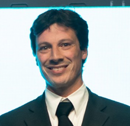
Luca Brocca
Research Institute for Geo-Hydrological Protection
National Research Council, Italy
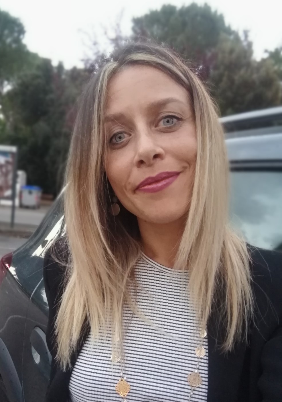
Sara Modanesi
.jpg)
Jacopo Dari
ABSTRACT
Agriculture is the largest water user with about 70% of total freshwater consumption, which is projected to further increase due to climate change, population growth but also more demanding lifestyles and diets. Indeed, the average irrigation for a crop season in some regions can be at least twice the amount of rainfall. Irrigated areas, although being about 2% of the global land area (17% of cultivated area), alter either the land water cycle, by locally increasing evapotranspiration and soil moisture, as the atmosphere dynamic by a local increase in the latent heat flux as well as to a local increase of atmospheric water vapor that in turn modulates the cloud coverage and precipitation. However, the real amount of water used for irrigation from household farmers to irrigation district areas globally is almost completely unknown.
At the same time irrigation is one of the sectors where there is one of the hugest differences between modern technology and the largely diffused ancient traditional practices. Improving water use efficiency in agriculture is an immediate requirement of human society for sustaining the global food security, to preserve quality and quantity of water resources and to reduce causes of poverties, migrations and conflicts among states, which depend on trans-boundary river basins.
This session will focus on: the use of remote sensing data for water management at large spatial scales and estimate irrigation volumes; improving irrigation water use efficiency based on remote sensing vegetation indices, hydrological modeling, satellite soil moisture or land surface temperature data.
ABOUT THE ORGANIZERS
Luca Brocca received the PhD degree in Civil Engineering in 2008 from Perugia University. Since (2009) 2019 he is (Researcher) Director of Research at National Research Council, Research Institute for Geo-Hydrological Protection of in Perugia. He is editor of 9 international journals. He won the Copernicus Masters competition “BayWa Smart Farming Challenge” and nominated “Highly Cited Researchers” by WoS (2019-20). The research focus is the development of innovative methods for exploiting satellite observations for hydrological and agriculture applications. Author of 170+ journal referred papers (12500+ citations, H-index=53 GS). PI and co-PI of 22 (4) International (National) projects.
Sara Modanesi is a PhD student and research fellow. She received a M.S. degree in Applied Geology in 2012 and a Master degree in Analysis and Management of Hydrological Hazard in 2016, from Sapienza University of Rome (Italy). Since May 2018 she is carrying out research activity at the National Research Council, Research Institute for Geo-Hydrological Protection of Perugia (Italy). In November 2018 she has started an International Doctorate in Civil and Environmental Engineering at the University of Florence (Italy), in a dual collaboration with KU Leuven (Belgium). The research focus is the exploitation of innovative satellite products to improve the water cycle description, tracking the effects of irrigation and monitoring drought events. She is part of 4+ international projects and author/co-author of 9+ peer-reviewed publications in high-impact factor journals.
Jacopo Dari received the PhD in Civil Engineering with excellence from the University of Perugia (Italy) jointly with the University of Florence (Italy) and the Ramon Llull University (Spain) in March 2021. He is currently a research fellow at the Dept. of Civil and Environmental Engineering of the University of Perugia and at the National Research Council - Research Institute for Geo-Hydrological Protection (Italy). His main research interests include: (i) assessment of the anthropogenic impact on the hydrological cycle, (ii) use of remote sensing data to detect and quantify irrigation, (iii) characterization of the spatio-temporal variability of soil moisture at different spatial scales, and (iv) land surface modeling. He is part of 3+ international projects and author/co-author of 14+ peer reviewed publications in high-impact factor journals.
